How the weather affects your flight — the atmosphere and winds

Brits devote an abnormally large part of their conversation to the weather. Awkward silence in a lift? Talk about the weather. Spending time with your grandparents? Talk about the weather. Caught in a freak downpour? Talk about the weather. Yet, it's no surprise, as this phenomenon, which we have no control over, plays such an important part in everyday lives. This is even more so if you're a pilot.
The weather and sky conditions are to a pilot what the ocean and waves are to a sailor. Understanding the weather plays a massive part in ensuring that an aircraft gets safely from A to B. Wind, temperature, air pressure and visibility are all important factors in not only how the aircraft flies but also how the punctuality and comfort of your flight will be affected.
The Atmosphere
The atmosphere can be described as a gaseous mass surrounding and moving along with the earth with no defined upper limit. At this point, it's important to appreciate that the atmosphere moves along with the earth. You'll understand why later. It is made up of roughly 78% nitrogen, 21% oxygen and a 1% mixture of other gases including carbon dioxide, hydrogen and argon. The air that these gasses create behaves very much like a liquid.
The atmosphere is divided up into five main layers but commercial aircraft fly in the bottom two layers — the Troposphere, which sits closest to the surface, and the Stratosphere, which sits just above it.
As you climb up into the Troposphere, the air pressure, temperature and air density all decrease. For every 1,000 feet you climb, the air temperature will decrease by 35°F. This continues up for around 36,000 feet, where you run into the Tropopause, which is the boundary layer before reaching the Stratosphere. Here, the temperature stops falling with increased height and becomes a constant value.

I say 'around' 36,000 feet because the level of the Tropopause varies from day to day, season to season and most importantly, depending on its location above the earth. The Tropopause is affected by the temperature of the air below it. The warmer the air, the higher the Tropopause. As a result, it tends to be lower over the poles (around 25,000 feet) and higher over the equator (around 55,000 feet).The Tropopause is important because it effectively acts as a lid, keeping most of the wether below it.
As these conditions can very around the world, for standardization, pilots use the International Standard Atmosphere (ISA). Under ISA conditions, at a sea-level airfield, the temperature is 59°F, it decreases by 35°F per 1,000 feet and the air pressure is 1013 hectoPascals (hPa). Pilots then refer to the conditions on a given day as ISA +/- so many degrees.

So, now we know the structure of the atmosphere, we can look at what effect is has on aircraft and how it can affect your flight.
The Wind
We are all aware of the effect wind has on us, but what actually is it? Wind is defined as 'the sustained horizontal movement of air' and is caused by changes in air pressure. When you watch the weather forecast on TV, you'll see the wind measured in mph. However, in aviation, it's measured in knots (kt) — 1kt = 1.15mph.
You've more than likely seen a chart like the one below, showing areas of high and low pressure. Air will naturally flow from areas of high pressure towards areas of low pressure — much like water will flow down a slope and fill in a lower lying area. It's this flow of air that we experience as wind.

The rings on the chart are called isobars and they indicate areas of equal pressure. The closer the isobars are together, the greater the pressure change for a given distance, and therefore the stronger the wind. We also know that, in the northern hemisphere, air moves counterclockwise around areas of low pressure and clockwise around areas of high pressure. The opposite is true in the southern hemisphere.
As a result, by looking at a chart like the one above, you can tell which direction the wind is coming from and how strong it will be. Knowing what the wind is doing is one of the most important factors that pilots need to know for their flight.
Why is that important for pilots? First up, let us dispel a common myth. Contrary to popular belief, it is not the engines that make aircraft fly, it is the wings. The engines merely provide the forward acceleration.
That's because a wing works by air flowing over its surface. When the airflow reaches a certain speed, the wing starts to provide lift. When the lift generated is greater than the weight, the aircraft climbs into the air. The engines provide the driving force to create that airflow over the wing. As a result, the strength and direction (velocity) of the wind is of great importance to aircraft at all stages of flight, particularly during takeoff and landing.
On takeoff, if the wing requires 100kt of airflow over it (airspeed) to create enough lift to fly, in zero wind conditions the aircraft will have to accelerate up to 100kt over the ground (groundspeed) in order to lift off. However, if there is a 20kt wind blowing into the nose of the aircraft, a headwind, it only has to accelerate up to 80kt groundspeed before it can lift off. In effect, the aircraft is starting off with +20kt before it starts to move.
Conversely, if there is a 20kt wind blowing from behind the aircraft, a tailwind, it's starting off with a -20kt wind. As a result, it has to accelerate up to 120kt groundspeed before it can achieve enough lift to become airborne. This extra speed means that the aircraft will need more runway before it reaches its takeoff speed. Consequently, you'll understand why pilots prefer to takeoff into the wind.
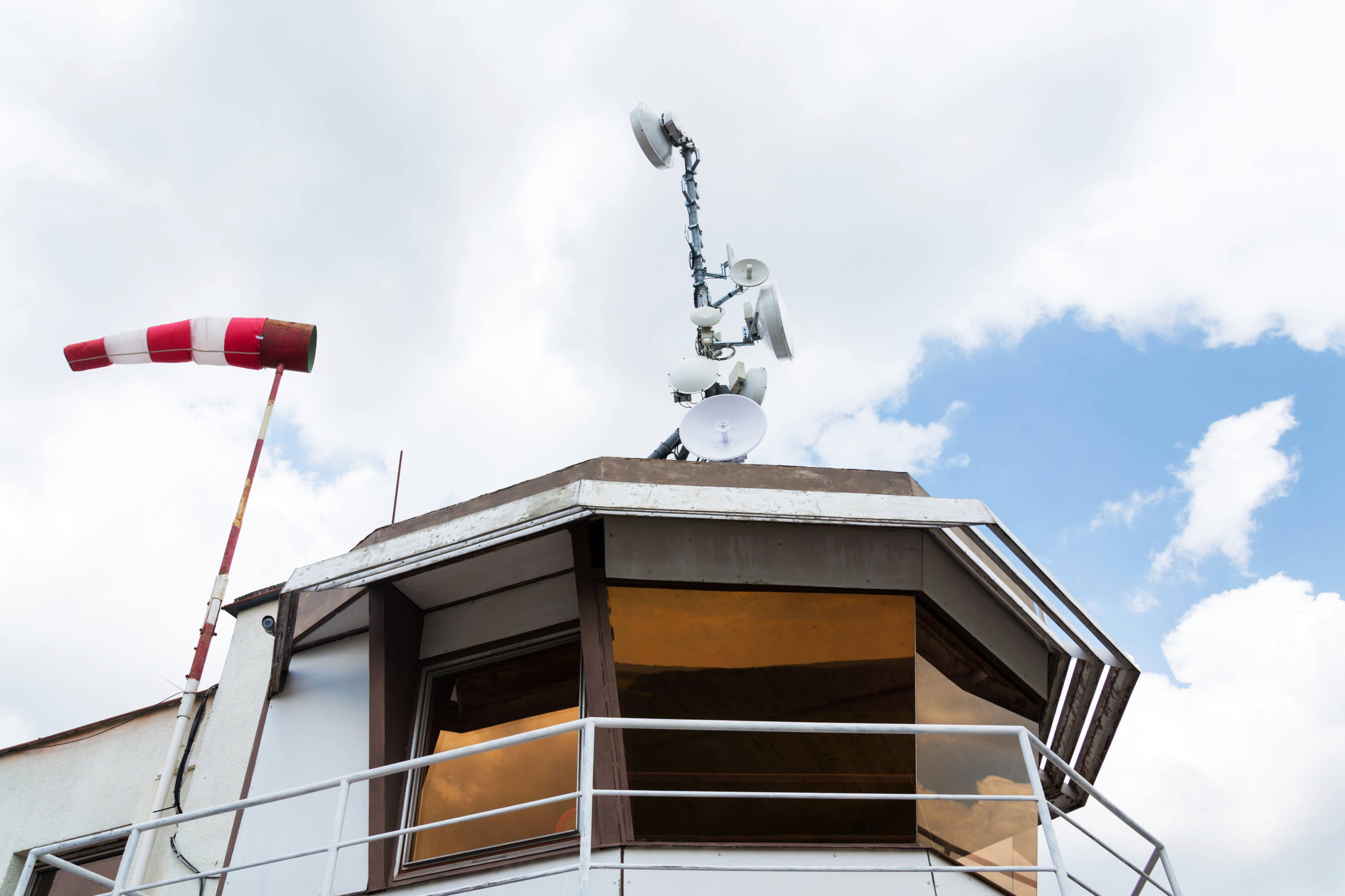
This is the same for landing. With a 20kt headwind, the aircraft may have an airspeed of 100kt but only has a groundspeed of 80kt. This would require a much shorter runway than if the aircraft had a 20kt tailwind and a resultant groundspeed of 120kt. Next time you're on the takeoff run, have a look out of the window for the windsock. You'll notice, more often than not, that it's pointing down the runway.
When the winds are really strong, the groundspeed of landing aircraft can get quite slow. Whilst this isn't a problem for pilots and the aircraft, it does cause some headaches for Air Traffic Control. As the aircraft are moving over the ground more slowly, it means that fewer will land each hour. This isn't a problem at small airports, but at places like London Heathrow, the knock on effects can be quite significant.
To minimize the delays from strong winds, ATC have moved to a system called TBS — time-based separation.
If I told you that turbulence is caused by fluctuations in lift, it will be no surprise to you that turbulence is closely linked with wind velocity. As the aircraft flies through the moving air mass above the earth (remember from the Atmosphere section above?), it is subject to constantly changing wind velocity. These constant variations create changes in the lift the wing is providing at any given time. When the wind increases, the lift increases. When the wind decreases, the lift decreases.
Multiply these changes hundreds of times a second and that's how you get turbulence. The greater the changes in the lift, the bumpier it feels. For more on turbulence and why you shouldn't be worried about it, check out my previous article, "A passengers guide to turbulence".
Low Level Winds
You may have noticed that on windy days, the flight seems fairly smooth until the latter stages of landing and then it starts to get bumpy. This isn't by luck — it's to do with something called the 'boundary layer'.
Think of a fast-moving river and how the water flows, remembering from earlier that the air behaves very much like a fluid. In the middle of the river, the water flows nice and smooth, as it is unhindered by anything. However, at the edges, the water starts to get turbulent as it rushes past rocks and sticks close to the bank. It's the same in the air.

A few thousand feet up, the air can flow freely, just like in the middle of the river. Yet, when the wind gets closer to the ground, it starts to hit buildings, trees, hills and other obstructions. It's this contact that causes the low-level turbulence you experience in the early and late stages of flight.
Jet Streams and Upper Level Winds
If you've been on a flight across the Atlantic, you've more than likely heard your pilots mention 'jet streams'. But what are they on about and why are they important for your flight?
The World Meteorology Organization defines a jet stream as, "A strong narrow current concentrated along a quasi-horizontal axis in the upper Troposphere or Stratosphere, characterized by strong vertical and lateral wind shears and featuring one or more velocity maxima. The wind speed must exceed 60kts".
Yikes.
What on earth does that all mean?! Basically, a jet stream is a concentrated area of really fast-moving wind. That's it. So what causes them to occur where they do?

You'll remember from earlier that the Tropopause varies in height above the surface depending where on the earth you are. Over the poles it's lower, and over the equator it's higher. However, in both hemispheres at approximately 30° and 60°, there are steps in the Tropopause where large temperature differences occur.
In these locations, due to the rapid change of temperature in a localized area, the wind also changes rapidly. It's these changes that create the jet streams. The greater the temperature difference, the stronger the wind. This is why jet streams tend to be faster in the winter when there is a greater range of temperatures between the colder polar air and the warmer air next to it.
Jet streams flow from west to east, which is why flights from Europe to North America take longer than the other way round. In the core of jet streams, winds regularly reach 100kts-150kts. Occasionally they can reach 150kts-200kts. As a result, aircraft routes across the Atlantic vary according to the wind. When going westbound, the routes keep aircraft out of the strongest headwinds. When heading east to Europe, they try to make the most of these jet streams by flying as close to the core as possible.

These strong winds also explain why it's often more bumpy on flights heading eastbound than heading west. As pilots, we try to fly in the very core of the jets. Here, like in the river example above, the air is much smoother. You can be rocketing along with a 150kt tailwind and be in completely smooth air. Descend just a couple of thousand feet and you can have half the tail wind and be bumped around all night.
If you want to know more about how these flights are planned across the Atlantic, and how turbulence affects them, check out my article, "Hopping across the Pond - How pilots find their way to the USA."
Bottom Line
The weather plays a massive part in how your flight pans out. Whether it takes off on time, how bumpy it is and how long it will take. The properties of the atmosphere affect all the weather that is created within it. The wind, and how it behaves, has the biggest impact on your flight. From how bumpy it is to how likely it is to be delayed. Next week, I'll be explaining the other main parts of the weather that can affect your flight — thunderstorms and fog.